
Marine Survey Consulting
Geophysical, geotechnical, bathymetric, route, and field planning support for freshwater, coastal, and offshore projects.

Marine consulting | AI monitoring | resilience finance
StartGroup Ltd helps governments, infrastructure owners, and technical teams plan marine projects that protect coastlines, support offshore development, and turn field data into earlier climate-risk decisions.
Flagship project
The flagship initiative combines reforestation, soil and weather sensors, AI forecasting, field verification, and infrastructure protection to reduce future storm, flood, and landslide impacts.
Reforestation stabilizes soil. Sensors collect weather, water, and ground data. AI models convert that data into earlier warning signals. Project finance and compliance oversight help move the system from concept to execution.
What we do
Geophysical, geotechnical, bathymetric, route, and field planning support for freshwater, coastal, and offshore projects.

Cyber-hydro monitoring strategies that connect field sensors, marine data, weather inputs, and decision-support models.

Funding coordination, contract review, compliance verification, and disciplined allocation of resources for high-impact projects.
Operational proof
Marine survey and infrastructure projects associated with the team’s experience.
Countries represented across offshore, coastal, deepwater, and environmental programs.
Critical marine infrastructure projects financed, supervised, or coordinated by leadership.
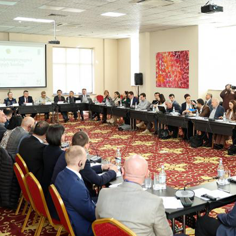
Neptune autonomous survey concepts and Poseidon machine learning workflows support lower-cost mapping and seabed geohazard prediction.
Leadership
StartGroup Ltd carries forward the founding vision of David Jose and the late Dr. Jean Jose: combine marine science, practical offshore execution, and environmental stewardship.
Client Testimonials
StartGroup Ltd is built for teams that need clear technical judgment, disciplined coordination, and accountable delivery across marine and climate resilience programs.
“StartGroup brought the rare mix of marine survey knowledge and financial discipline we needed. Their team translated technical risk into decisions our engineers and funders could act on.”
“The planning process was clear, practical, and deeply informed by field realities. StartGroup helped us understand where coastal infrastructure was most exposed before committing capital.”
“Their sensor and monitoring recommendations gave our water resources team a stronger basis for early alerts, maintenance priorities, and community preparedness planning.”
“David Jose’s finance oversight kept the project grounded. The team knew how to align grant requirements, technical milestones, and environmental compliance without losing momentum.”
“StartGroup treated environmental stewardship as part of the engineering strategy, not a late-stage checklist. That approach made the project stronger and easier to defend.”